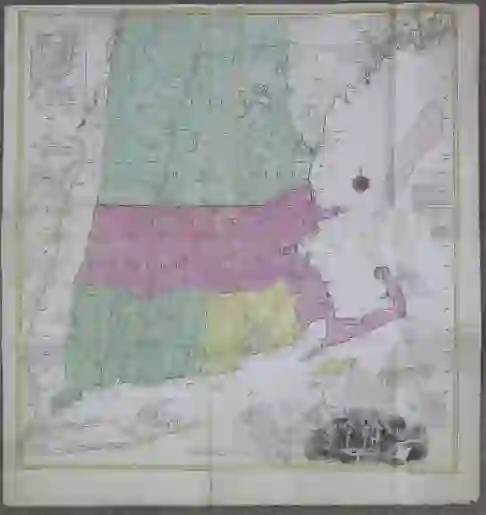
Tobias Lotter Map of New England 1776
Tobias Conrad Lotter (1717-1777), “A Map of the Most Inhabited part of New England, containing the Provinces of Massachusetts Bay and New Hampshire, with the Colonies of Connecticut and Rhode Island, Divided into Counties and Townships, The whole composed from Actual Surveys and its Situation adjusted by Astronomical Observations,” Augsburg, 1776. Hand colored map depicting New England. With an inset map along the upper left depicting Fort Frederick on Iroquois Lake, an inset map along the lower right depicting Boston, and a romantic illustration of the settlers at Plymouth under the title cartouche.
Sheet: height: 43 3/4 in x width: 41 in.
$1,600
