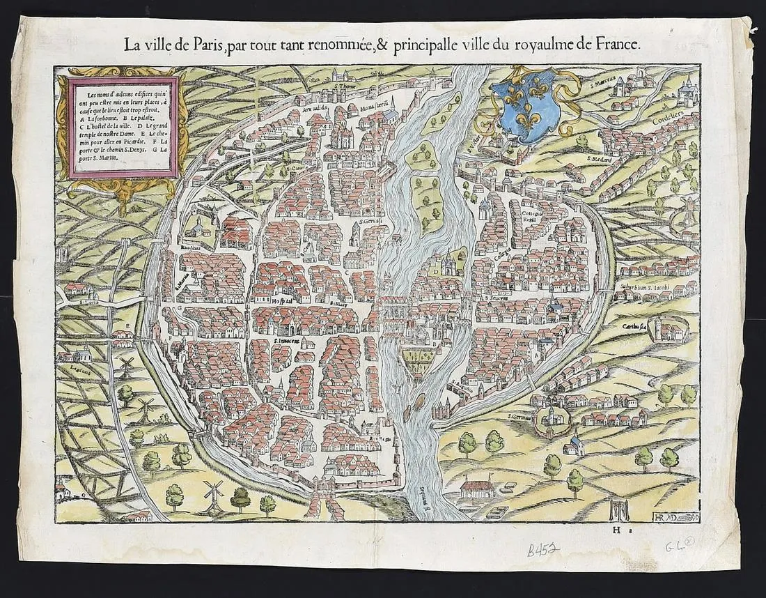
Sebastian Munster (1488-1552), “La ville de Paris, par tout tant renommee, & principalle ville du royaulme de France,” ca. 1568.
This hand-colored woodcut map of Paris shows the city from a bird’s eye view, including details of houses, churches, windmills, and even a gallows in the lower right corner. The French text along the verso identifies the map as depicting the city as it appeared in 1548. The cartouche along the upper left corner provides several place names throughout the city: “”Les nomes d’aulcuns edifices quin’ ont peu estre mis en leurs places, a cause que le lieu estoit trop estroit. A La Sorbonne, B Le palaiz, C L’hostel de la ville, D Le grand temple de nostre Dame, E Le chemin pour aller en Picardie, F La porte & le chemin S. Denys, G La porte S. Martin.”
Sheet: height: 11 3/4 in x width: 15 1/2 in.
$550
