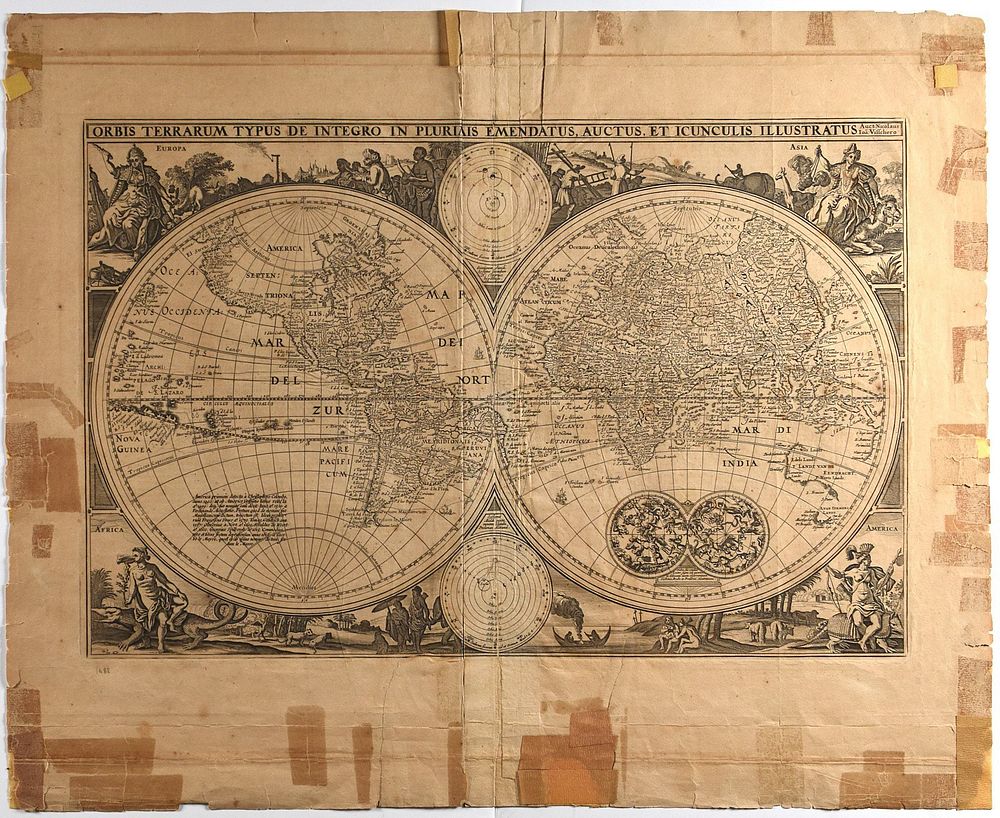
Nicolaes Visscher World Map 1657
Nicolaes Visscher I (1618-1679), “Orbis Terrarum Typus de Integro in Plurimis Emendatus, Auctus, et Icunculis Illustratus,” Amsterdam, 1657. Highly detailed world map in two hemispheres. Three celestial charts inset, one with detailed illustrations of the constellations. The profusely illustrated border includes four vignettes representing Europe, Asia, Africa, and America, respectively. This map became the model for world maps in Dutch bibles throughout the late 17th century.
Sheet: height: 18 in x width: 22 in.
$850
