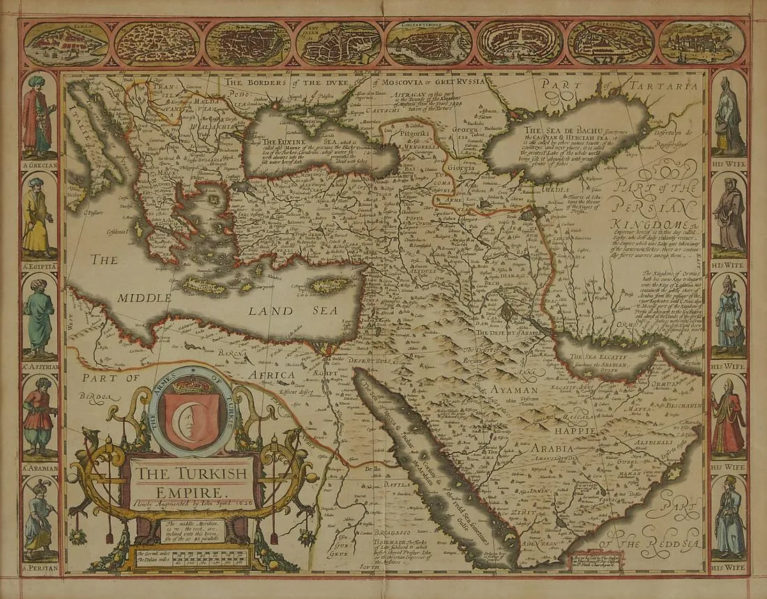
John Speed Map of the Turkish Empire 1626
John Speed (ca. 1551-1629) “The Turkish Empire,” London: G. Humble, 1626.
This hand-colored map of what is now Turkey and the surrounding areas features a detailed border along the top edge of inset maps of major cities throughout the empire, including Famagusta, Damascus, Cairo, Jerusalem, Constantinople, Rhodes, Alexandria, and Ormus. The left border of the map features illustrations of a Grecian man, an Egyptian man, an Assyrian man, an Arabian man, and a Persian man, with each of their corresponding wives along the right border of the map.
Sight: height: 16 3/4 in x width: 21 1/2 in.
Framed: height: 24 3/8 in x width: 28 1/2 in.
$950
