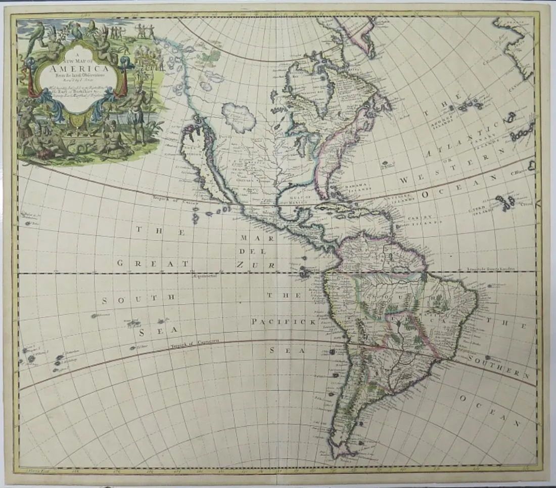
John Senex (1678ñ1740), “A New Map of America from the Latest Observations,” London, ca. 1719-1721. Hand colored copperplate engraved map of North and South America, from Senex’s “New General Atlas,” D. Brown, London, 1721. Notable features of this map include the depiction of California as an island and the inclusion of a lake in Northwest North America called “The Great Lake of Thoago or Thoya,” along with a fanciful depiction of the northwest coastline and islands of North America.
Cartouche in the upper left corner reads: “A New Map of America From the latest Observations Revis’d by I. Senex. Most humbly Inscribed to the Right Honble. The Earl of Berkshire etc. Deputy Earl Marshal of England.” Printed “I. Harris Fecit” in the lower left corner.
Height: 19 3/4 in x width: 22 1/4 in.
$500
