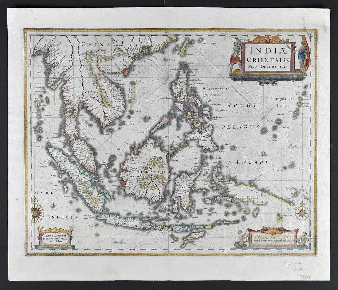
Jansson Map of the East Indian Ocean Archipelagos
Jan Jansson (1588 – 1664), “Indiae Orientalis Nova Descriptio,” Amsterdam, ca. 1630.
This hand colored map depicts a section of Southeast Asia, including what is now Laos, Cambodia, Thailand, Vietnam, Malaysia, Singapore, Indonesia, Myanmar (Burma), and the Philippines. The title cartouche along the upper right is flanked by illustrations of men from the region depicted. The scale cartouche along the lower right is flanked by two mermaids. A cartouche along the lower left contains the publication information. This map additionally features two intricate compass roses, as well as ships and sea monsters throughout.
Sheet: height: 18 1/2 in x width: 21 1/2 in.
$700
