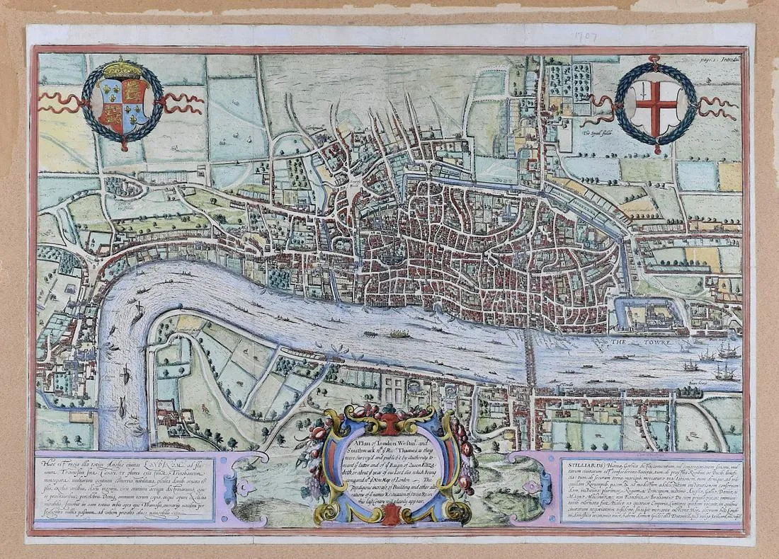
Edward Hatton (ca. 1664ñafter 1733) after Georg Braun (1541ñ1622) and Frans Hogenberg (1535ñ1590), “A Plan of London Westm[inste]r and Southwark with ye Riv[e]r Thames as they were Survey’d and publish’t by Authority toward ye latter end of ye Raign of Queen Elizabeth, or about ye year of our lord 1600, which being compared with ye New Map of London–The prodigious increase of Building and other alterations of ye names & situations of Street &c. in this last Century will plainly appear,” London, 1708.
This hand-colored map is a fine example of the fourth edition of Braun and Hogenberg’s map of London, first published in 1572. This edition appeared in Hatton’s “A New View of London; or, an Ample Account of that City,” and differs from earlier editions in the title in the cartouche at the lower center, where in former editions there was a group of illustrated figures.
$850
