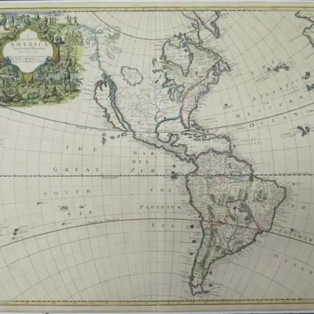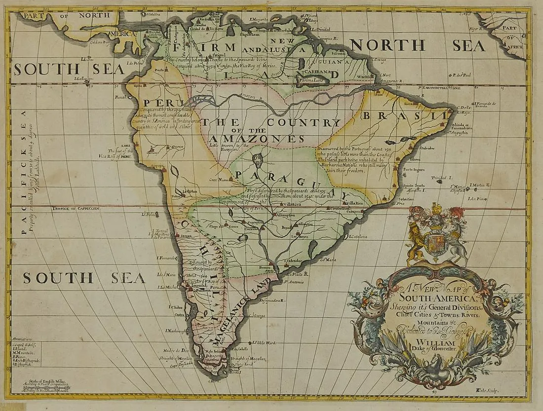
Edward Wells Map of South America ca. 1700-1738
Edward Wells (1667-1727), engraved by Benjamin Cole, “A New Map of South America, Shewing it’s General Divisions, Chief Cities & Towns; Rivers, Mountains & c,” London, ca. 1700-1738.
Hand colored map with a highly decorated title cartouche and dedication to William, Duke of Gloucester.
Sight: height: 17 3/4 in x width: 21 1/4 in.
Framed: height: 18 1/2 in x width: 22 1/4 in.
$600
